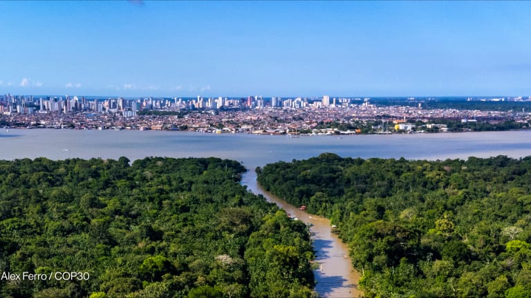


Last year saw an alarming surge in deforestation in the Amazon, with around 20,000 square kilometers of old-growth forest estimated to have been cut or burned down.
That’s an area roughly the size of Israel, with deforestation in the Brazilian Amazon ramping up in the past two years during the presidency of Jair Bolsonaro. Yet the same satellite technology that detected the destruction could also ultimately prove its savior through efforts to empower people both locally and globally to monitor changes.
But while much of the technology to combat such issues in rainforests does already exist, some in the sector are looking at ways to enable much wider use.
Recent developments may aid this transition. In a step aimed at helping “revolutionize” forest monitoring, Norway’s Ministry of Climate and Environment entered into a contract last September with Kongsberg Satellite Services and its partners, Airbus and Planet, to provide universal access to images it says are high-resolution enough to see if a single tree has been felled.
At a resolution of below five meters per pixel, the images show more granular detail than were freely available before. Monthly updates and an archive back to 2015 also enable viewing of a regular change over time.
‘Critical gap’
“We came to this understanding that there was a critical gap in enabling countries to combat deforestation,” said Ellen Bruzelius Backer, policy director for environmental integrity at Norway’s International Climate and Forest Initiative, the ministry unit running the program. “We wanted to see if we could make a centralized resource and take that bold step forward.”
The aim is to provide a platform for opening up data to people in general rather than just the technically minded — including governments, companies, investors, journalists, scientists, NGOs, and Indigenous organizations.
“In Brazil, it wasn’t a raging wildfire issue … but it was a deforestation issue. We would never know that without satellites."
— Matt Finer, director, Monitoring of the Andean Amazon ProjectBacker explained that although some countries such as Brazil, with its PRODES system, have had rainforest monitoring resources for many years, this can be harder for others due to limited funds, technical capacity, and complexity with licenses.
But she says there is still much capacity building needed to enable governments and people to harness the data properly, so such activity is part of the new initiative — with the ministry currently discussing the form this will take with partners.
“One thing is to have access to the satellite data, but you really need to have the system to use it, apply it, follow up, and take action,” Backer said. “We also hope that making it available to the general public will foster an awareness of forests and a good basis for discussion about stopping deforestation.”
Opening up
According to Tara O’Shea, director of forest programs at Planet, the latest developments make data more “actionable” by widening access to technologies that enable tracking much closer to the pace of change, thus creating a base level for more focus on awareness-spreading and innovation.
With some of Planet’s imagery now reaching a spatial resolution of 50 centimeters, the possibilities are continually increasing. “Suddenly, you can track not just large-scale deforestation, but you can see things like degradation,” O’Shea said.
“I’m always careful to say the technology itself is not a silver bullet; what’s really powerful is when you put this capability in the hands of those who have the local knowledge,” she added.
O’Shea cited previous Planet work in Indonesia on peatlands, where local knowledge on irrigation infrastructure that people knew to be a precursor to drainage and deforestation was invaluable for informing what to search for in the satellite imagery. “That to me was extremely eye-opening,” O’Shea said. “To think that’s going to be amplified across a number of countries, local communities, and NGOs is really exciting.”
She said having partners such as Global Forest Watch, an online monitoring platform established by the World Resources Institute with partners including a wide array of academic, nonprofit, and public and private organizations, helped bring services and decision-making to a much broader set of stakeholders with NICFI’s new initiative.
For O’Shea, the level of adoption so far is encouraging, with feedback highlighting that it works well alongside other data sources. For example, users have been able to use the platform to verify forest alerts from an already-established high-resolution system known as GLAD. “That helps prioritize where to send resources on the ground because we can validate and classify what this alert was,” O’Shea said.
Such public-private crossovers look set to be key for helping overcome access and cost-related challenges, she said: “I think this partnership is emblematic of the sorts of partnerships we are going to need to address the climate crisis.”
Granular monitoring
The Monitoring of the Andean Amazon Project, a program within the Washington, D.C.-based organization Amazon Conservation Association, uses satellite data from various sources, including Planet to track deforestation for an audience including governments and policymakers.
According to Matt Finer, director at MAAP, the latest technological developments have enabled the transition to much more real-time, granular monitoring. He cites the widespread fires in the Brazilian Amazon in 2019, when MAAP was able to harness imagery to confirm that many of them occurred when trees already cut down earlier in the year were burned.

This, according to Finer, overturned some assertions that intact rainforests were burning, offering important implications for targeting future efforts by pinpointing the potential signs for this sequence of events. “In Brazil, it wasn’t a raging wildfire issue … but it was a deforestation issue. We would never know that without satellites,” he added.
Finer explained that MAAP has been able to expand into real-time fire monitoring in the past couple of years due to pathways opened by the ability of the Copernicus Sentinel-5P satellite to detect aerosols, enabling major fires to be much better distinguished from small, routine ones than with standard heat-based sensors.
“The aerosol-based data is a total game-changer,” he said. “You can cut through that noise of all those heat-based alerts.”
Meanwhile, MAAP has reported significant recent success in reducing Amazon deforestation relating to illegal gold mining in collaboration with the Peruvian authorities. Since the government launched a crackdown in early 2019, MAAP estimates this has fallen 78% — with Finer saying a feedback loop of satellite tracking, intervention, and review is moving ever closer to wiping this out.
Transparent data
Wider data access means organizations and groups gain more leeway to act themselves rather than having to rely on the goodwill of governments, according to Michael Coe, tropics program director at the Woodwell Climate Research Center in Falmouth, Massachusetts.
For Coe, the next question many are trying to resolve is how to get data into people’s hands in a more simple-to-use way: “How do we make a product that tells a story in a few images that’s quantifiable and accurate, but really easy for people?”
The Woodwell Center is aiming to do that partly by presenting information and data on deforestation, climate, fire, and carbon in a clear way using map imagery on its site, making it “as simple as possible to tell that story,” Coe said.
More on technology and climate change
► Bill Gates: Climate change calls for 'innovation by a deadline'
► CGIAR puts climate change at the heart of new research strategy
Additionally, he explained that the center is looking to create a system for rapidly informing agencies in Brazil about fires, as there is room for better centralization of data from different sources. “They were trying to download the data from the source and do all that front-end work, which is really difficult,” said Coe.
MapBiomas, a Brazil-based initiative involving universities, NGOs, and technology companies, has been seeking to tie together Amazon deforestation alerts and information from various sources to produce more comprehensive reports.
“The innovation here is to really turn the alerts into something that is usable and actionable,” said Tasso Azevedo, who coordinates MapBiomas.
According to Azevado, satellite tracking has been aided by advances in machine learning and artificial intelligence, as well as platforms such as Google Earth Engine. But now the means are there, it’s time to make full use of them.
The challenge now is not about having more alerts, Azevado said, but “much more on how to use the information that you acquire … and actually getting down to action in relation to those deforestation events.”
Visit the Data for Development series for more coverage on practical ways that satellite data can be harnessed to support the work of development professionals and aid workers. You can join the conversation using the hashtag #DataForDev.

Printing articles to share with others is a breach of our terms and conditions and copyright policy. Please use the sharing options on the left side of the article. Devex Pro members may share up to 10 articles per month using the Pro share tool ( ).
About the author

Gareth Willmer
Gareth Willmer is a freelance writer and subeditor based in London. His main coverage areas are science, technology and telecoms, as well as how changes and advances in these areas affect the developing world. He regularly works for publications including New Scientist and SciDev.Net, and previously worked as a subeditor for Nature.