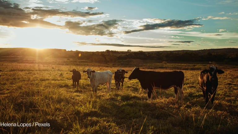


Today we are surrounded by space technologies. From navigating a new city to watching your favorite sports team on the other side of the world, space technologies make it a reality, often without us even thinking about it.
According to Euroconsult, commercial revenues in 2020 totaled $171 billion for satellite navigations and $138 billion for satellite communications, while Earth observation revenues totaled just $5.5 billion. Why is it that Earth observation, or satellite imagery, has not taken off at the same velocity as other space technologies? Could it have something to do with timing?
What is UNOSAT?
UNOSAT is the Operational Satellite Applications Programme of the U.N. Institute for Training and Research.
UNOSAT focuses on satellite imagery analysis, training, and capacity development for the benefit of low- and middle-income countries, as well as U.N. sister agencies and the Red Cross and Red Crescent family.
For more info, visit unosat.org.
I have the pleasure to lead UNOSAT — the Operational Satellite Applications Programme of the United Nations Institute for Training and Research — and I have seen how this satellite technology gradually evolved since 2001 when UNOSAT became operational. It was often a tough sell back then, since few development or humanitarian actors knew much about this technology or how it could benefit them.
We were gradually able to show how satellite imagery could be useful for the full range of U.N. work, now guided by the 2030 Agenda for Sustainable Development and its 17 Sustainable Development Goals. This included areas as diverse as health, climate change, peace, water management, and ending hunger and poverty. The advantage of satellite imagery is that it can support all of these goals. As technology goes, it is truly crosscutting.
A failure to launch
Globally, however, this satellite imagery technology never really took off at scale as initially predicted. There are many factors that could explain this. When I speak to governmental representatives in many low- and middle-income countries about access to satellite imagery, they continue to convey a frustration that data access is too difficult, requiring a significant level of expert knowledge and processing before it can be used for anything meaningful.
Why is that? Over the years, I believe there has been way too much focus on the imagery itself and on doing small-scale pilot projects to test a new algorithm for slight improvements in performance. Once a pilot is successful, one moves onto another pilot without thinking about whether what we have is good enough to make informed decisions at the local or national level, even if not perfect.
National and local decision-makers should not need expertise on satellite imagery processing; they should simply be able to apply their thematic expertise onto a product that makes sense for them to make decisions. We obviously need research, but we also need a stronger focus on applications of this research.

The rise of value-added services
If I want to listen to music through a streaming service such as Spotify or Apple Music, I don’t need to know anything about how the music was recorded or its delivery format; it just works. Meanwhile, the satellite imagery industry has been serving expert consumers for around 40 years now. Imagine a vinyl record that one has to purchase in a special store, with each record label having its own store and demanding expert knowledge and equipment to play it. That’s hardly a case for mass consumption.
However, we have recently seen a change: More and more companies and Earth observation organizations are providing value-added services downstream that directly feed final information products to consumers.
In addition, artificial intelligence and machine learning allow us to take advantage of the extremely large record of satellite imagery, most of which has never been used. By training algorithms on this previous imagery and subsequently refining the results using AI, we are gradually approaching a situation where information is provided in a timely and automated manner.
Although it is still early days, we’re seeing many great applications of AI and ML, such as building footprints that can be used for census planning, city planning, and even detecting shelters of populations displaced by conflict.
Another application is flood monitoring. By running dedicated training datasets for specific areas prone to flooding, high-quality information products can automatically feed into dashboards for national emergency management decision-making, providing information on the number and location of people living in flooded areas.
We were gradually able to show how satellite imagery could be useful for the full range of U.N. work. … As technology goes, it is truly crosscutting.
—Added to this is the fact that many types of satellite data are being made available for free. Studies have shown impressive cost-benefit results for society once images previously sold commercially are made available at no cost, with a focus instead on downstream value-added products. Satellite imagery is now being used for a wide range of applications thanks to the free data policy and satellites dedicated to land, ocean, and atmospheric observation.
Bridging the gap
On top of this comes training and capacity development. Decision-makers do not need to be trained on the technical aspects of image processing. However, it is imperative that decision-makers are empowered to put forward specific requirements.
On one side, you have Earth observation experts knowing what the technology can be used for. On the other side, there are the decision-makers who need information but have no solution. We need to bring these two sides together and bridge the gap between technology and application.
It is also about timing, however. One result of COVID-19 has been the use of remote sensing to get information from places one cannot go. We can get information on any given situation in even the most inaccessible of places — for example, a tropical cyclone passing over a Pacific island very soon after it has happened. What is new is the “aha” moment that many people not used to this technology now experience. And that is a great thing!
With information products becoming easily available through streaming services, AI and ML ensuring timely products, data being made available for free for companies and organizations to create value-added services, decision-makers able to access the information products of their choice, and an understanding that remote sensing provides fact-based information in previously inaccessible areas, then guess what? The stars are finally aligned; we’re witnessing the rise of satellite imagery.
Visit the Data for Development series for more coverage on practical ways that satellite data can be harnessed to support the work of development professionals and aid workers. You can join the conversation using the hashtag #DataForDev.

About the author

Einar Bjørgo
Einar Bjørgo is director of the division for satellite analysis and applied research at the United Nations Institute for Training and Research. In that capacity he oversees the Operational Satellite Applications Program and strategic implementation of the 2030 Agenda Unit.