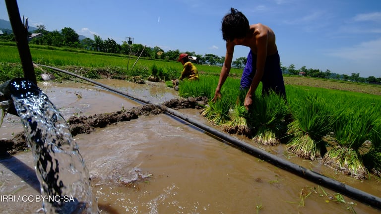
Recent advancements in climate data availability have granted newfound access to a trove of climate data usually reserved for climate scientists. This is good news as the data can help us better understand where and how communities can live with a more chaotic climate. Engineers can design higher sea walls, farmers can make better planting and water-use decisions, and governments can block development in emerging flood zones. But applying climate data to the present time can be problematic.
A 2021 review by a group of concerned climate modelers shined a spotlight on the potential consequences of applying climate data to highly local and near-term climate challenges. Climate models were designed to simulate longer-term trends across large areas and they do that well, but they lack the spatial and temporal precision to tell us everything we need to know about a local climate and transient extremes.
The Pro read:
7 experiments tackling the barriers to localization
Reimagining the INGO is a new project funding experiments to overcome the challenges of localization. From a knowledge bank of decolonization advisers to a "reverse call for proposals," here's what they're working on.
This presents a serious problem for the development community as our work is predominantly local and aiming to provide near-term solutions. So how can we navigate this trade-off, supporting communities to address immediate threats while planning for the longer term?
A raft of different approaches exist, but one theme weaves throughout them all — localization; something echoed by the “Principles for Locally Led Adaptation” and the United States Agency for International Development’s framework for supporting sustained development through local systems. Three key principles can help us localize and more effectively use climate data.
Principle 1: Connect global risks to local impacts
The risk drivers and contextual factors of food security are complex. The Famine Early Warning System Network, or FEWS NET, one of the longest standing global early warning systems, pulls together livelihood profiles and nutrition needs — alongside historical data on crop production, rainfall, market behavior, and trade volumes — to detect the timing and magnitude of potential famine across countries prone to food insecurity.
In the days after the Russian invasion of Ukraine, FEWS NET alerted the humanitarian community of potential famine-like conditions across the world, especially in regions already suffering from historic drought, i.e. Ethiopia and Sudan, but also dependent on Russia or Ukraine for grains or fertilizer, i.e. Somalia, Madagascar, Nicaragua, and Yemen.
Even without war-induced supply shocks, the factors shaping food security are complex and require a deep understanding of both climate and nonclimate stressors. However, building a decision support system like FEWS NET can be costly and time-consuming. Instead, practitioners can complete a situation model, otherwise known as an impact chain. They consist of simple illustrations used to consolidate the factors that drive risk in a local system, including the known relationships connecting global risks to local impacts.
Principle 2: Capture relevancy
By allowing local communities to define the thresholds of concern — for example, the rainfall needed to irrigate crops — practitioners are then able to utilize climate data to determine how often, more likely, or when those thresholds may be exceeded and trigger a relevant impact.
For example, a decade ago I was in India trying to understand local drivers of water conflict by first validating satellite readings of groundwater levels from the GRACE mission. Farmers were reporting groundwater table declines to the second decimal place — a level of precision and accuracy far beyond that of the GRACE satellites at the time. They knew which aquifers were connected and which were critically overdrafted. Farmers could distinguish a “bad” season from a “good” one based on seasonal precipitation totals, days of rainfall, and soil moisture levels.
Even with robust climate and observation-based models, you would be hard pressed to identify which thresholds were relevant and meaningful without local input.
Principle 3: Facilitate and listen
The last principle is squarely focused on dialogue and facilitation that give local groups and stakeholders an opportunity to articulate their priorities and design their own solutions to the climate crisis.
The Water, Peace, and Security Partnerships’ global warning tool forecasts water-related conflict 12 months in advance. While predictions utilize global data and machine-learning methods to identify potential conflicts, local workshops are used to understand how this data translates at the local level, and even feeds into region-specific tools.
Another facilitation-focused project, led by the Climate Systems Analysis Group, developed learning labs to understand local epistemological practices, and subsequently, how climate data could best address complex development challenges in southern African cities.
Localizing climate knowledge
While climate models are our best tools for measuring the direction and the magnitude of longer-term change, they alone are inadequate at helping us understand how climate risks translate to local impacts and which resilience and adaptation strategies are most suitable. In the absence of local knowledge, resilience strategies will fall short or, worse, reverse progress.
To capture this local knowledge, we need to engage in dialogue and highly collaborative science-society interactions that provide us with a space to bring in socioeconomic information, wrestle with the data, and identify meaningful thresholds that give much-needed context and direction for climate adaptation and resilience planning.


