Space time: 5 key talking points at the World Geospatial Information Congress


CANBERRA — There is a patch of earth we all call home. There are places we go to work, where our children go to school, and locations important to our lives — a park, a restaurant or somewhere else that is meaningful to who we are.
“For those of us who are older, the message is — it’s not time to slow down. It’s time to go even faster.”
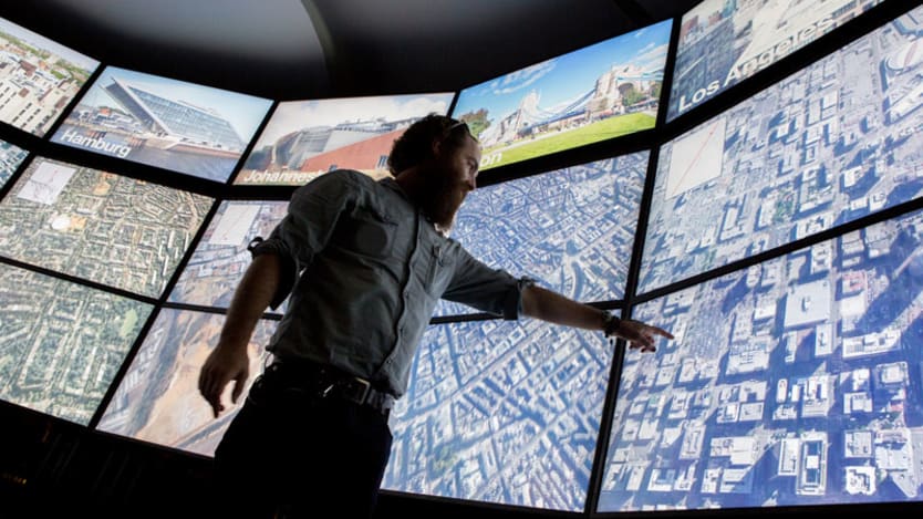
— Jack Dangermond, president, ESRIOur lives are spatial, but we don’t always picture them that way. In the city of Deqing, China, this week, spatial was the only way of thinking. Geospatial data experts from around the world gathered for the United Nations World Geospatial Information Congress to discuss ways to make spatial thinking the norm, thereby improving our ability to create and analyze data supporting the Sustainable Development Goals.
Devex rounds up the takeaways from three days of discussions.
1. Focusing on a better world
The overarching theme of the conference was “The Geospatial Way to a Better World,” focusing on how geospatial technology — including mapping, satellite technology, and spatial analysis — could support the delivery of the SDGs.
Delegates discussed how that can happen, including new ways of collecting data that could help monitor and deliver the SDGs. For example, innovative technologies, the “internet of things,” crowdsourcing, collective intelligence, and big data were all highlighted as helping to improve the creation, evaluation, and management of sustainable cities.
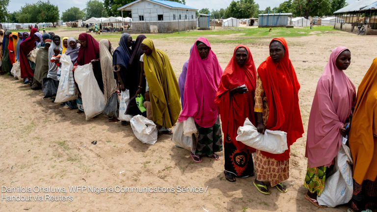
Virginia Burkett, chief scientist with the United States Digital Service, discussed combining social media with mapping via Twitter. By looking for common words associated with earthquakes, USGS was able to create an early earthquake warning system that could help identify incidents not detectable by seismic monitoring systems. Delegates also discussed how geospatial information is enabling better disaster preparedness in developing countries, including Elena Lobo from Satellite Applications Catapult highlighting the way satellite data is providing small island developing states in the Pacific with vital information on disaster and climate risks.
But there were also recurring themes of data privacy and security, and data provenance and trust, as well as shifting the focus from enabling access to data to providing answers. And it was emphasized that there is no one-size-fits-all solution when it comes to implementing systems and processes using spatial data: Enabling decision-makers to examine and integrate social, economic, and environmental needs to develop solutions is critical.
2. Building frameworks for spatial solutions
Already at the U.N.’s World Data Forum in October, the importance of geospatial data and technology was identified as critical to achieving better global policies for the SDGs and beyond. But being identified as important to the data community does not always translate to government processes and funding.
There is a need to change practices, not only to encourage support from government but to make the most of the systems available. Moving forward with the operationalization of the U.N. Integrated Geospatial Information Framework — a blueprint announced in August that focuses on policy, perspectives, and elements of geospatial information to support the SDGs at a national level — was described as key.
Wael Zakout, global lead for land and geospatial with the World Bank, explained that the framework would be implemented thorough country-level action plans “linked to government national priorities,” with finance to support the solutions identified.
“We must all work together to develop integrated geospatial information frameworks to address the many challenges facing humanity today, essential for our planet, our people and our prosperity,” Liu Zhenmin, U.N. Department of Economic and Social Affairs chief, said during a session on measuring progress with geostatistical information.
Already the framework is being taken on board by some organizations. Colin Bray, CEO of Ordnance Survey Ireland, said his organization is progressing with the framework as part of its 2019-2021 strategy, which covers governance, technology, and people.
3. Space affairs and the SDGs
On day two, as part of a session on sustainable development, director of the U.N. Office for Outer Space Affairs Simonetta Di Pippo provided insight into the work of this “fast-growing U.N. committee.”
In total, she said, space-related technology has a value of $384 billion — and estimated that in 30 years it will be valued at between $1 trillion and $3 trillion, citing a growing global reliance on space infrastructure, driven largely by the private sector.
As a global space governance agency, UNOOSA is creating forums to discuss the changes to international regulation required to support this development. It currently has 87 member states with an additional five joining in 2019.
Di Pippo said space is climbing to the top of political agendas around the world, but that “we need to bring the private sector to the table when addressing regulatory developments.” With a clear set of rules and effective global space governance, space can reach its full potential, she said.
Already that potential is being seen. In January, UNOOSA published a report with the European GNSS Agency investigating the role of satellites in achieving the SDGs. They found that saying 65 of the 168 targets were reliant on space systems to monitor progress.
If space technology could be used at a larger scale, Di Pippo believes “they would contribute to the achievement of SDG targets ahead of their deadline.”
4. Understanding region specific challenges
The congress brought together regional information management networks to make decisions on global spatial standards, with discussions continuing after the close of the conference on Wednesday. That highlighted the regional differences faced in this area of data management and research.
A session on the African action plan on geospatial information for sustainable development, which included speakers from Senegal and Cameroon, highlighted challenges in gaining interest in geospatial data from politicians and policymakers.
Lack of financial resources was also a major concern, as well as the technological barriers some countries face. And capacity development — the need to train a future generation of “geospatialists” — is a challenge that could hinder growth, some said.
5. Developing the next generation
That challenge was an important focus area at the conference. Professor Menno-Jan Kraak, from the University of Twente, discussed training the next generation of mapmakers, emphasizing the importance of thinking spatially on wider analysis, decision-making, and policies.
Day three included a young geospatial professionals summit, to both share knowledge and gain insights to support growth in this area.
But there is still a lot of work left for the geospatial old guard to complete, according to ESRI President Jack Dangermond in his opening plenary.
“For those of us who are older, the message is — it’s not time to slow down. It’s time to go even faster.”
To support the delivery of the SDGs, there is going to be more demand for geospatialists. And whether or not they are nearing retirement age, the congress highlighted that it’s all hands on deck.
About the author

Lisa Cornishlisa_cornish
Lisa Cornish is a former Devex Senior Reporter based in Canberra, where she focuses on the Australian aid community. Lisa has worked with News Corp Australia as a data journalist and has been published throughout Australia in the Daily Telegraph in Melbourne, Herald Sun in Melbourne, Courier-Mail in Brisbane, and online through news.com.au. Lisa additionally consults with Australian government providing data analytics, reporting and visualization services.
Search for articles


Most Read
- 1
- 2
- 3
- 4
- 5