CANBERRA — To respond to the Ebola outbreak in the Democratic Republic of the Congo, responders needed to know where people were and how to access them, and quickly. When traditional methods could not deliver in time, DigitalGlobe — a Bill & Melinda Gates Foundation-funded project — analyzed earth observation data to help decision-makers and front-line health workers.
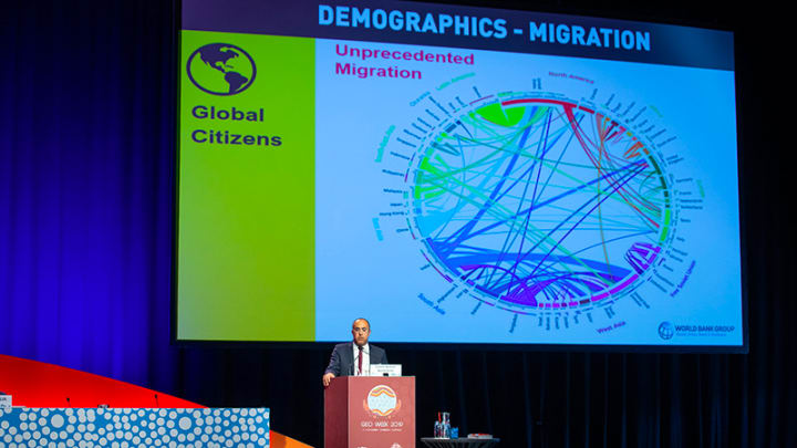
At GEO Week in Canberra, on Nov. 7, such examples of geospatial data use showed how it could provide practical solutions to support aid programming.
“This industry — meaning the industry at large rather than just the private sector — needs to develop better tools to convey value … [for] geospatial capability development as a legitimate candidate for funding in this space.”
— Glenn Cockerton, managing director, Spatial VisionBut despite its potential, when it comes to building support from development donors to invest in the data and capability required, the geospatial sector was still largely discussing what it could do rather than what it is doing, United Nations Global Geospatial Information Management secretariat Greg Scott said. And this is a problem to build the support required for investment by development donors, he said.
Investment is important for delivering better and targeted services at scale, so a new approach to building a business case is needed.
Build awareness
Among the biggest challenges for donors is having a clear understanding of what geospatial data can deliver in the development space.
Glenn Cockerton, managing director of Spatial Vision, told Devex that it is important to start bridging that gap.
“A lot of government and funding organizations may not have good understanding of both the benefits and the value that an investment in geospatial technology, including systems and data, are capable of delivering,” he said.
The geospatial industry as a whole, he said, had a responsibility to articulate its value proposition far more effectively.
“Institutions such as this conference are part of that, but I think this industry — meaning the industry at large rather than just the private sector — needs to develop better tools to convey value and allow them to see geospatial capability development as a legitimate candidate for funding in this space,” Cockerton said.
Abhineet Jain, head of global business development at MAXAR, said stories that helped build a practical and targeted understanding of the potential for geospatial technology to support development goals were important in building awareness. DigitalGlobe was one such project undertaken by MAXAR that generated data in DRC, which is now being utilized by partners such as Path and Médecins Sans Frontières.
“We are making efforts in bringing these success stories out there to other foundations and government,” he said. “Where people are living in what conditions in terms of poverty assessment should not wait years for census data. Earth observation can contribute to the knowledge and from there, policymakers can get a sense of the direction that programs need to go.”
And it was the responsibility of everyone working in the sector, Abhineet said, to get these stories out there.
Focus on projects
When UN-GGIM was established, Scott explained that it was given no budget and now, still continues to operate with no budget. Funding for its work needs to come from outside donors.
But this proved to be a challenge.
“Early on we went out to a number of aid and development agencies, and tried to provide a value proposition,” Scott said. “It doesn’t work. It didn’t work. And it still doesn’t work. The reason it doesn’t work because aid organizations are fronting up a lot of money and they want real and tangible results real quick that people can see and people can benefit from.”
With this need for tangible results, Scott said that geospatial solutions are more palatable for development financing if they are focused on smaller projects rather than large-scale programs — such as building geospatial capability for an entire continent.
With the promotion of the Integrated Geospatial Information Framework, a reference guide to strengthen national geospatial information management for low- and middle-income countries, Scott said UN-GGIM has managed to find a win-win by having an overarching program that is implemented through a range of country-specific projects.
“The U.N. is building a program that is implementable by country action plans, and they request financing through the World Bank,” he said. “So it’s country, by country, by country. But we put the overarching program and agendas together.”
Be aware of donor fatigue
Basanta Shrestha, director of strategic cooperation works at the International Center for Integrated Mountain Development, has been able to attract and maintain a value associated with his work in mapping risks and opportunities within the Hindu Kush Himalayas region for 25 years — with USAID one of its donors.
But he told Devex that the “landscape is shifting dramatically.” And donor fatigue is one of the challenges faced in requesting and receiving renewal of funding to support their work. This created a risk that projects or organizations such as ICIMOD would be prioritized for funding.
For organizations with a geospatial solution to fund, Shrestha said considering opportunities for co-financing with the private sector was an important option to consider not only to achieve program objectives, but to maintain sustainable funding.
About the author

Lisa Cornishlisa_cornish
Lisa Cornish is a former Devex Senior Reporter based in Canberra, where she focuses on the Australian aid community. Lisa has worked with News Corp Australia as a data journalist and has been published throughout Australia in the Daily Telegraph in Melbourne, Herald Sun in Melbourne, Courier-Mail in Brisbane, and online through news.com.au. Lisa additionally consults with Australian government providing data analytics, reporting and visualization services.


